- MeT Predicts Rain, Snow From Dec 21
- Snow Accumulation Expected Above 3,200 Metre
Srinagar- A prolonged dry spell in Kashmir may be nearing an end as weather agencies have forecast snowfall and rainfall across the region over the coming days, coinciding with the onset of Chillai Kalan, the harshest 40-day winter period beginning December 21.
The Meteorological Department has issued an advisory warning of possible moderate to heavy snowfall in the higher reaches of Kupwara, Bandipora and Ganderbal on December 21. Light to moderate snowfall is also expected over other higher areas of the Kashmir division, while plains may receive light to moderate rain.
Scattered light rain or snow is likely on December 22, after which no major precipitation is forecast until the end of the month, officials said.
Two back-to-back Western Disturbances are likely to affect J&K between Saturday and Tuesday, bringing snowfall to higher reaches and light rainfall in plains, according to independent forecaster Faizan Arif.
Dry and cloudy weather is expected across the Union Territory on Thursday and Friday, while mostly dry conditions will prevail on Saturday (Dec 20). However, a few higher-altitude areas, particularly along the Sonamarg-Drass axis and in Kupwara and Bandipora, may record light snowfall, he said.
The first Western Disturbance is expected to impact the region from Saturday night, with precipitation starting over the higher reaches. The second system is likely to join on Monday (Dec 22) and persist until Tuesday afternoon (Dec 23), prolonging snowfall in north Kashmir, especially in the Kupwara higher reaches. Snowfall in Bandipora, Ganderbal, and Baramulla in the higher elevations is also expected.
Snow accumulation is likely to be light to heavy over elevated areas, while plains may receive light rainfall, with moderate showers in some locations.
“Tourist spots, including Gulmarg and Sonamar,g are expected to witness light to moderate snowfall. Dry snow is possible over Kupwara and nearby areas between Monday night and Tuesday morning due to relatively lower temperatures,” he added.
In Jammu division, plains are likely to see mostly cloudy weather with light rain, the middle reaches may receive light to moderate rainfall, and the higher reaches could record light to moderate snowfall.
Faizan Arif noted that overall precipitation is not expected to be high, but cold temperatures could lead to notable snow accumulation above 3,200 metres.
“Flight operations are expected to remain unaffected, air pollution levels are likely to drop, and the risk of forest fires may be reduced,” he added.
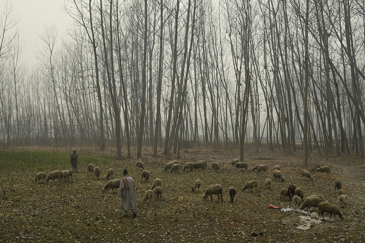
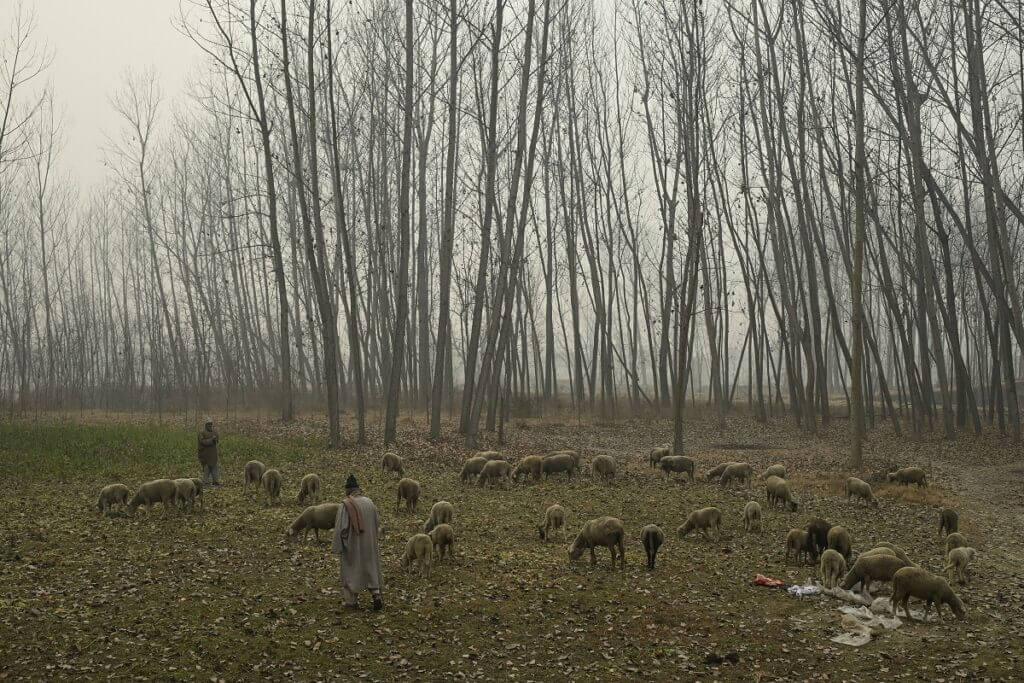
While overall precipitation is not expected to be heavy, weather experts said the anticipated snowfall could provide much-needed relief after weeks of dry weather and reduce risks related to forest fires and air pollution.
Minimum temperatures across Jammu and Kashmir and Ladakh fell further on Thursday, with several areas of the Kashmir Valley recording sub-zero night temperatures. According to data compiled by the news agency Kashmir News Observer, Zojila Pass recorded a low of minus 17.0 degrees Celsius, Awantipora minus 3.8 degrees Celsius, Pulwama minus 3.2 degrees Celsius and Pampore minus 1.8 degrees Celsius.
Srinagar recorded a minimum temperature of 0.2 degrees Celsius, while Qazigund settled at 0.8 degrees Celsius. Gulmarg and Kulgam were relatively warmer at 1.6 degrees Celsius and 2.0 degrees Celsius, respectively.