By Tazeem ul Haq
Saffron fields that once stretched like golden carpets now jostle with roadside shops, towering billboards, and mismatched buildings.
Open skies and traditional architecture are swallowed by a chaotic patchwork that grabs attention in every direction, leaving travellers unsettled and changing the way the valley is seen and remembered.
Pampore’s saffron fields are part of a living system where culture, design, and ecology come together.
Jammu & Kashmir produces over 90% of India’s saffron, and the Pampore-Pulwama belt covers nearly 3,500 hectares.
In the past five years, roadside commercial construction in these areas has surged by 40 to 50%, fuelled by land speculation and limited oversight.
The saffron remains in the soil, but its visibility and prominence fade as unplanned structures rise along the highways.
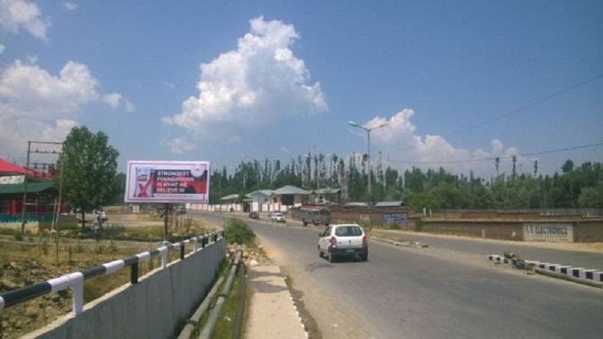
Travellers encounter tin sheds beside unfinished concrete blocks, glass façades clashing with raw brick, and buildings that vary wildly in height and alignment.
More than 70% of these constructions lack approved architectural designs, and many gain legal status only after completion.
Highways have shifted from scenic journeys to stretches of visual competition, where every new structure fights for attention.
This transformation affects both the economy and culture.
Saffron cultivation has declined by over 40% since the 1990s, influenced by land conversion, soil degradation, disrupted drainage, and pollution.
As the fields shrink and lose prominence, they also lose cultural weight, transitioning from a symbol of Kashmiri identity to a backdrop for roadside commerce.
The challenge stems from architectural decisions and governance rather than infrastructure itself.
India’s national highway network spans over 146,000 kilometers, the second-largest in the world. Each kilometer of highway can trigger three to five kilometers of ribbon development without proper zoning.
Sadly, highways have become magnets for unregulated growth, altering landscapes and local character in Kashmir.
Architecture along highways reflects how a region presents itself to the world. Aggressive, chaotic, or mismatched construction reduces both cultural and economic value.
Cultural tourism suffers, regional branding weakens, and saffron, as a premium product, cannot command respect if the land that produces it loses its visual appeal.
Highways function best as integrated cultural and ecological corridors. Design regulations, uniform building lines, height limits, and landscape buffers help preserve aesthetics and identity.
Evidence from similar regions shows that careful planning can reduce visual disruption by up to 60% and improve economic returns from tourism.
Kashmir’s infrastructure can frame its landscapes, highlight its heritage, and increase the value of its natural and cultural assets.
Thoughtful planning turns roads into avenues of pride, rather than visual conflict.
The growth of the valley depends on decisions that balance transport, economy, and culture, ensuring architecture contributes to identity and respect for local heritage.
With clear policy, sensitive design, and firm governance, the valley can retain the beauty and value of its saffron fields while still embracing development.